


Brief Introduction
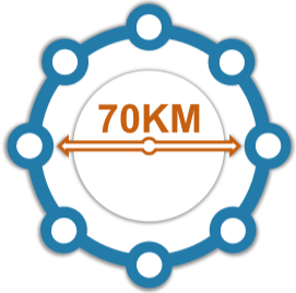
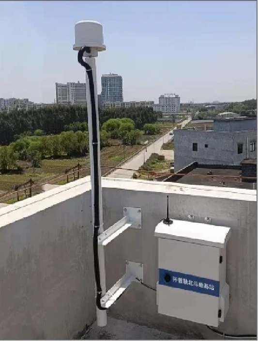
The NRTK Software is a high-precision Network Real-Time Kinematic (NRTK) network management and positioning service software. Powered by advanced optimization algorithms, the platform enables long-baseline networking by creating multiple reference stations (typically three or more) within a designated area.
By utilizing network data transmission, the system effectively overcomes traditional distance limitations, allowing field user terminals within the coverage area to obtain real-time, centimeter-level, high-precision positioning results and Continuously Operating Reference Stations (CORS) services.

Key Advantages
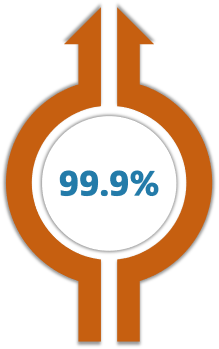
Industrial-Grade Reliability
Designed for rigorous 24/7 continuous operation with an output reliability rating of up to 99.9%.
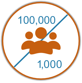
Massive User Capacity
Supports the creation of over 100,000 user accounts with up to 1,000 users online simultaneously.
Multi-Subnetwork Processing
Capable of processing up to 5 subnetworks concurrently.

Main features
The interface is separated from the service system, allowing you to enjoy services even during operation.
Support flexible solutions compatible with variety GNSS Receivers of brands and models
Service & Broadcast Modes
User-Friendly Architecture
Comprehensive Management
Supports virtual grid modes, data stream forwarding, and flexible broadcasting configurations.

Main Applications
Urban & City Planning
Surveying Mapping & Geodesy
Earthquake & Seismic Monitoring

Get in touch.
Click the button to reach out, fast response within 24 hours!