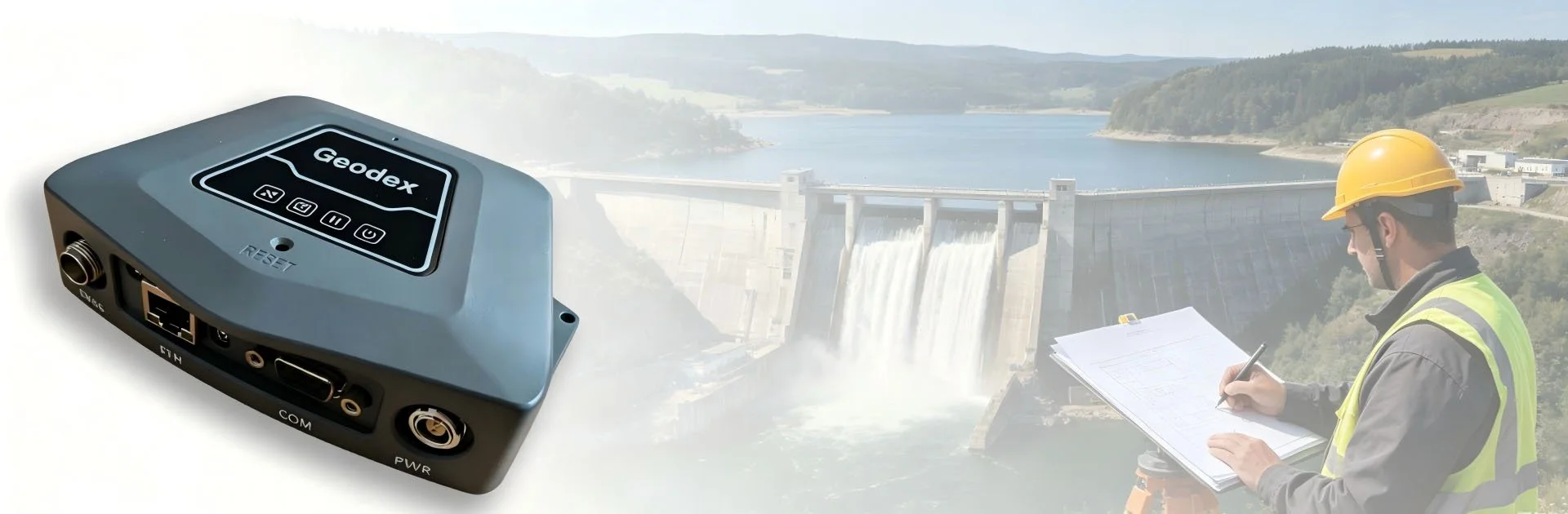

Geodex Geospatial - MC10 Banner

Main Features

Icon of a white briefcase within a blue circle.

Simple Design

NET10 PLUS is compact and lightweight, and is suitable to be used as a portable base station.
A diagram of a triangle with three circles at its vertices and arrows indicating rotation inside the triangle.

Front-end Processing

NET10 PLUS supports front-end processing, which can decrease server load and allow more stable connection.
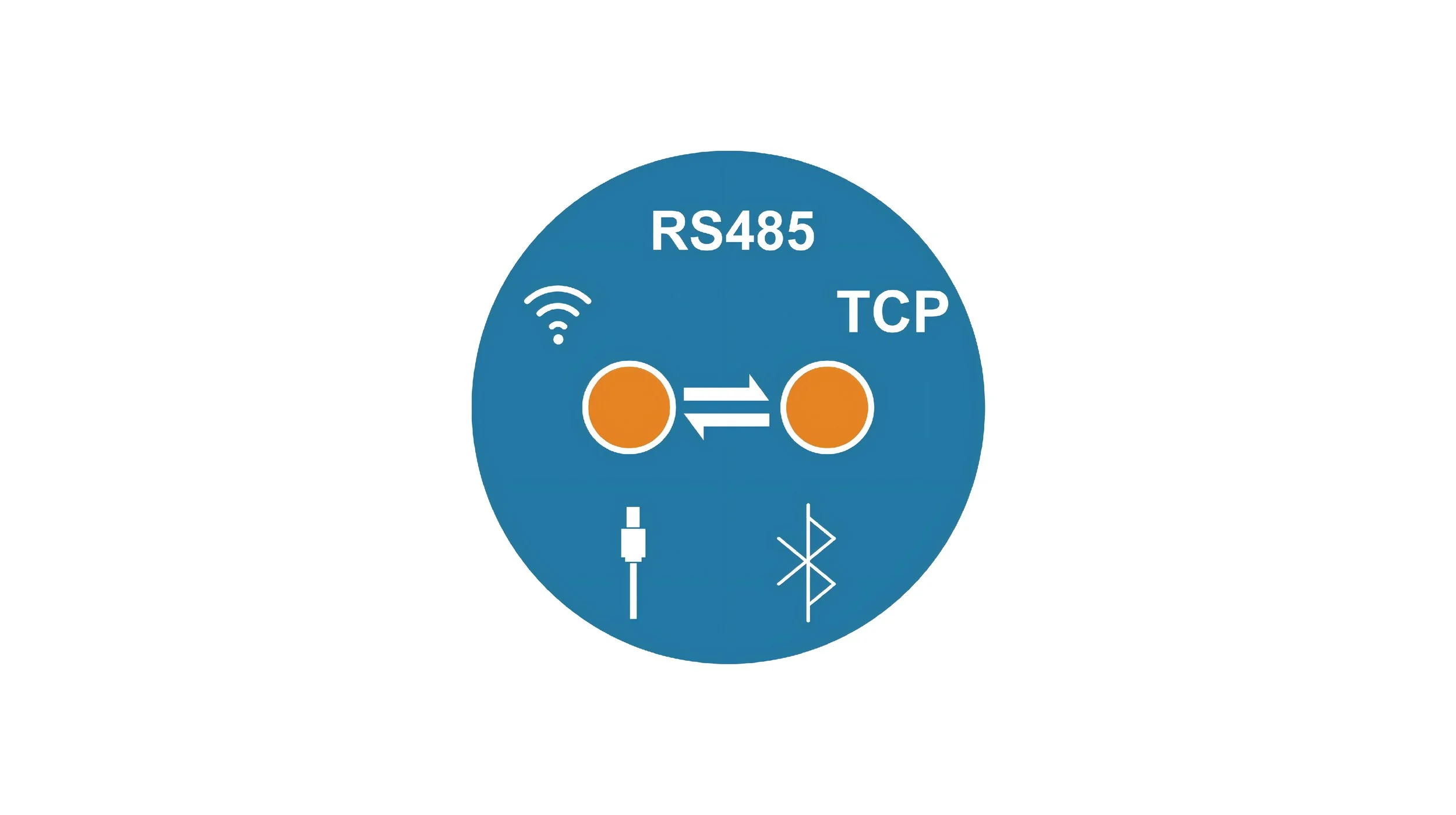
Diagram showing Wi-Fi, Ethernet, USB, Bluetooth, and other connectivity icons inside a blue circle.

Multiple Data Transmission

NET10 PLUS supports Wi-Fi, Bluetooth, Gigabit Ethernet, serial port, network TCP, NTRIP, RS485 and other methods.

Key Advantages
Logo featuring a blue circle with an orange orbit and ring around a white dot in the center.

Full Constellation Tracking

NET10 PLUS is compatible with mainstream GNSS systems and can track the new frequency bands of Beidou-3, providing you with stable and reliable signal tracking.
A blue circular icon featuring various white and orange financial chart symbols, with the text '20Hz' at the bottom.

High-Frequency Monitoring

NET10 PLUS can support 20Hz high-frequency data output, providing you with high-speed data transmission.
A logo featuring a blue cogwheel with a yellow lightning bolt and a white 3D cube shape in the center.

High Performance

NET10 PLUS adopts the Linux system and Cortex-A8 processor, which ensures stable operation and low energy consumption, offering extremely high cost performance.


Technical Details

Technical Specifications
Standard Configuration
Controller
Survey App

SurveyApp Features

Application scenarios

  • NET20 PLUS can be used to monitor bridge

    Bridge Monitoring

  • NET20 PLUS can be used to monitor agriculture machine

    Agriculture Monitoring

  • NET20 PLUS can be used to do hydraulic and hydropower monitoring

    Hydraulic and Hydropower Monitoring

Get in touch.

Click the button to reach out, fast response within 24 hours!