
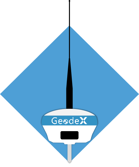
Geodex Geospatial - G7II-Lite iBase GNSS Banner

Key Advantages

A geodesic blue and white drone with the label 'GeodeX' on its body, flying inside a black background.

7W Radio

Battery and GeoDeX device on an orange diamond-shaped warning label.

Endurance

  • 7W radio,10km+ long-range coverage.

  • Up to 15km under optimal conditions.

  • 410–470MHz full band, intelligent relay & universal RTK compatibility.

G7II-Lite is equipped with 13600mAh massive battery. Enabling 12-hour continuous operation at 7W and all-day field endurance.
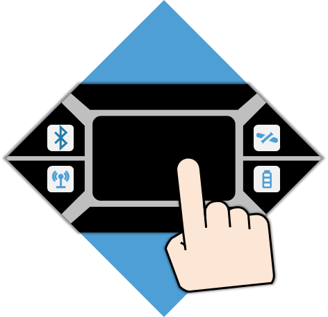
Touchscreen device with icons for Bluetooth, Wi-Fi, and battery, and a hand tapping the screen.

Tap Control

Features a 1.45-inch color display (360×250 resolution) that offers excellent visibility under strong sunlight. Paired with intuitive LED status indicators and a multi-language voice prompt system, it makes on-site operation highly efficient.

Main Features

A logo with a stylized human head silhouette and a radar signal, featuring the text 'GesadeX' inside the head, and an upward arrow suggesting growth or progress.

Powerful Anti-Interference

  • 360°full-coverage antenna;

  • Anti-jamming technology;

  • Reliable CM-Level positioning amid interference.

A gear icon with interconnected cogs and a device labeled 'GeaDeX' in the center, surrounded by a circular border.

Intelligent Base Station Service

  • Matches High-Precision coordinates via 4G CORS network;

  • Obtains standard CGCS2000 coordinates;

  • Delivering smarter and easier operation.
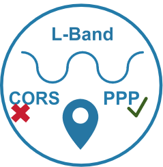
A circular icon with a location marker in the center. Top of the circle says 'L-Band'. The bottom left says 'CORS' with a red X, and the bottom right says 'PPP' with a green checkmark.

L-Band Commercial & PPP Service

G7II-Lite Delivers consistent CM-level CGCS2000 coordinates independently, even in network-free remote areas without CORS coverage.

Technical Details

Technical Specifications
Standard Configuration
Controller
Survey App

SurveyApp Features

Applications

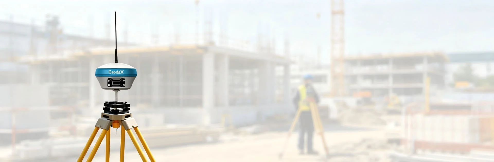
Construction worker wearing an orange safety suit and helmet is measuring and reviewing plans on a construction site with a large multi-story building under construction in the background. A drone is mounted on a tripod nearby.

Construction Engineering Survey

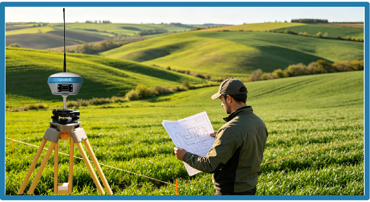
Farmer examining blueprints outdoors on a hillside with a GPS surveying device set up on a tripod, overlooking green rolling hills in the background.

Land & Agricultural Survey

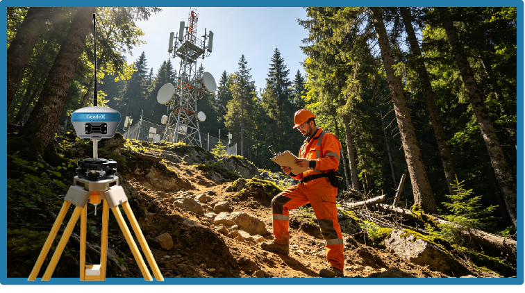
A forestry worker in orange safety gear and helmet standing on rocky trail in a forest, holding a clipboard and checking data, with communication towers in the background and a survey device on tripod in the foreground.

Geological & Mountainous Survey

Get in touch.

Click the button to reach out, fast response within 24 hours!