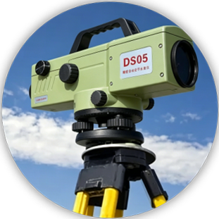
Product Image

DS05 Automatic Level

Sub-Millimeter Accuracy. Built for Critical Surveying.

0.5 mm accuracy, 46× optics, and IP54 protection.

Send Inquiry Now

Fast response within 24 hours

Key Advantages
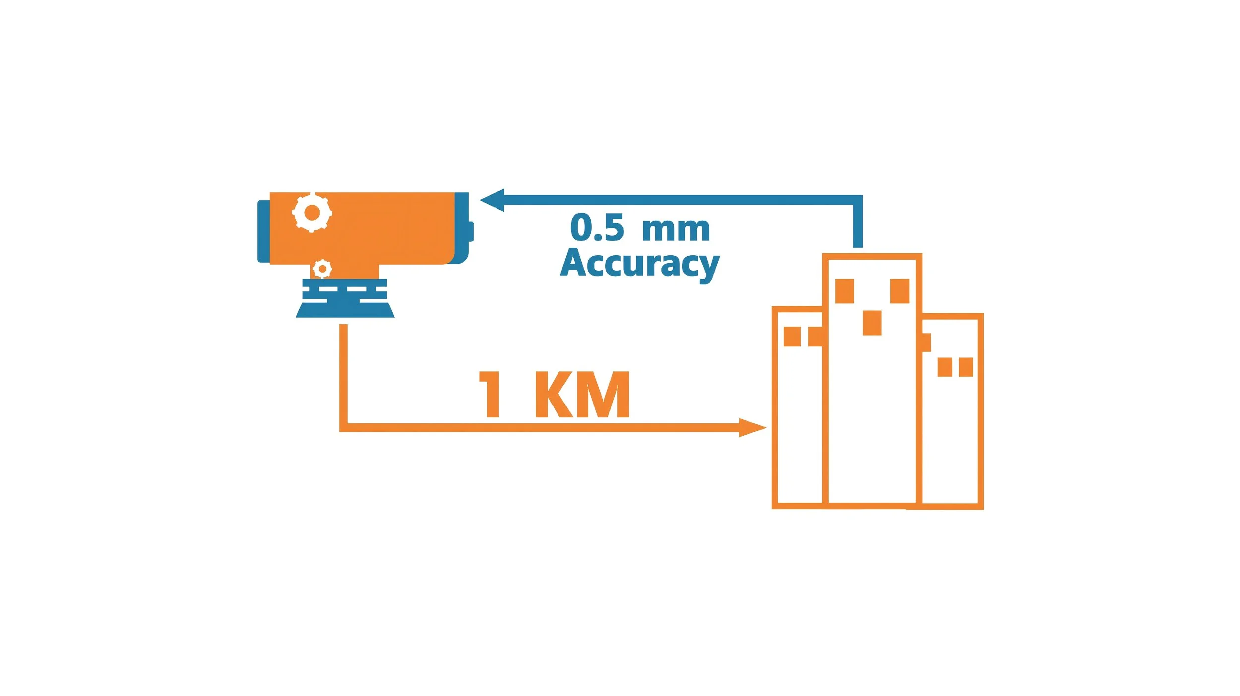
Diagram showing a computer measuring 0.5 millimeters accuracy over a distance of 1 kilometer to buildings.

0.5mm Accuracy

1 km double run precision

Application Scenarios
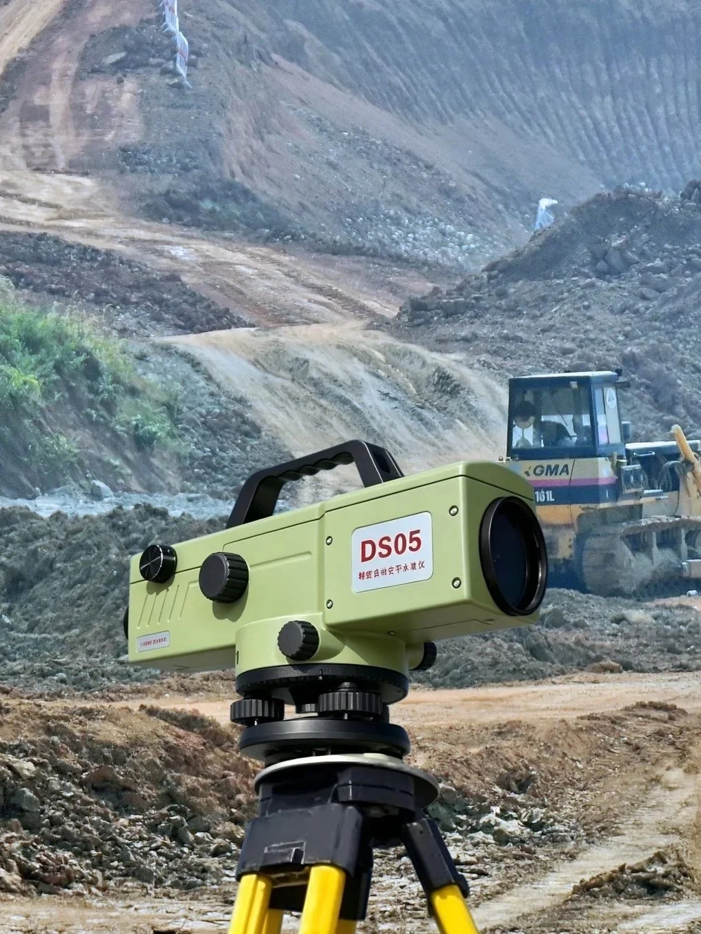
A green laser scanner on a tripod at a construction site with excavators and a dirt mountain in the background.

Geodetic Precision Leveling

A radar chart displaying data with a blue outer circle and orange inner segments, labeled with '46X' and 'optics'.

46× Optics

Sharp and clear targeting

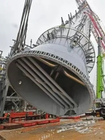
Close-up view of a large industrial drilling or boring machine on a construction site, with scaffolding and safety barriers around it.

Industrial Installation

A graphic illustrating the concept of water and virus contamination, with water droplet and virus icons separated by a line, and the number 54 in bold orange below.

Fast Leveling

Magnetic damping compensator
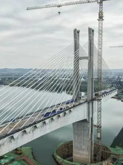
Cable-stayed bridge under construction over a river with scaffolding and cranes.

Geodetic Precision Leveling

Stylized illustration of an electronic component, possibly a transistor or integrated circuit, with blue and orange colors and simplified geometric shapes.

IP54 Protection

Dustproof, Shockproof & Waterproof resistant
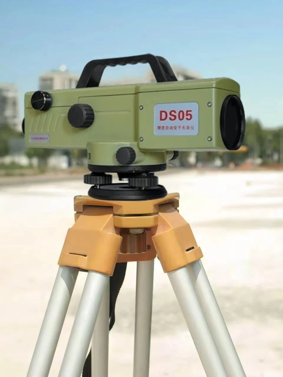
A green laser level mounted on a tripod outdoors with buildings and a blue sky in the background.

Geodetic Precision Leveling

Get in touch

Click the button to reach out, fast response within 24 hours!