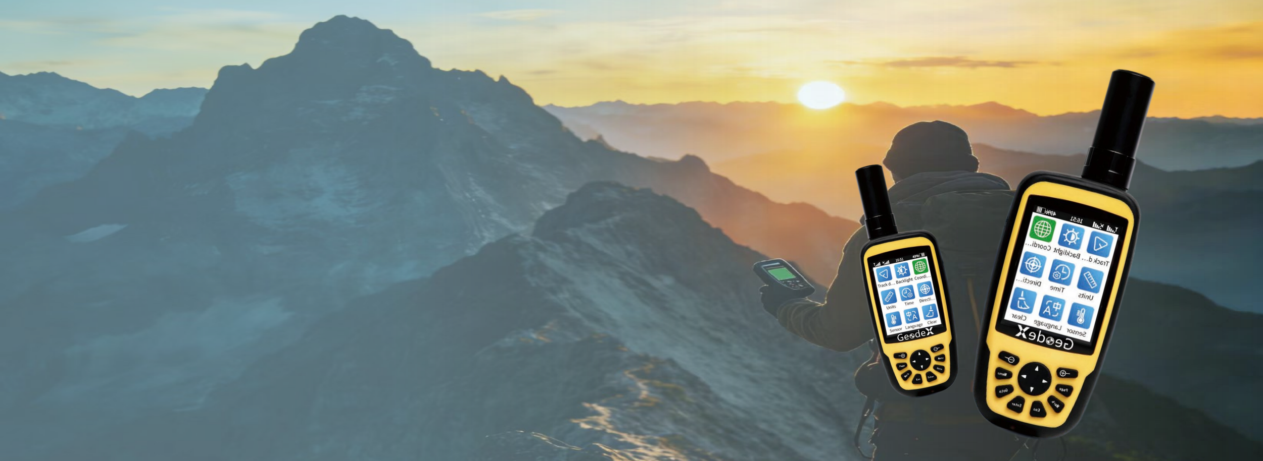
Geodex Geospatial - H70 Banner
H70 Series Details

Key Advantages

Icon of a satellite dish with a grid pattern, surrounded by concentric circles.

Full GNSS Full Frequency

The H70 series supports Full GNSS including GPS/GLONASS/QZSS/ GALILEO/WAAS/EGNOS/MSAS/BDS

A blue map pin icon set against a black background, symbolizing location or navigation.

High Accuracy Position

The H70 series can achieve 8mm accuracy in level and 15mm in vertical.

Illustration of a blue glue gun used for crafts and DIY projects.

Small and Lightweight

The H70 series adopts portable design, you can bring it with you and just go & survey.

Main Features
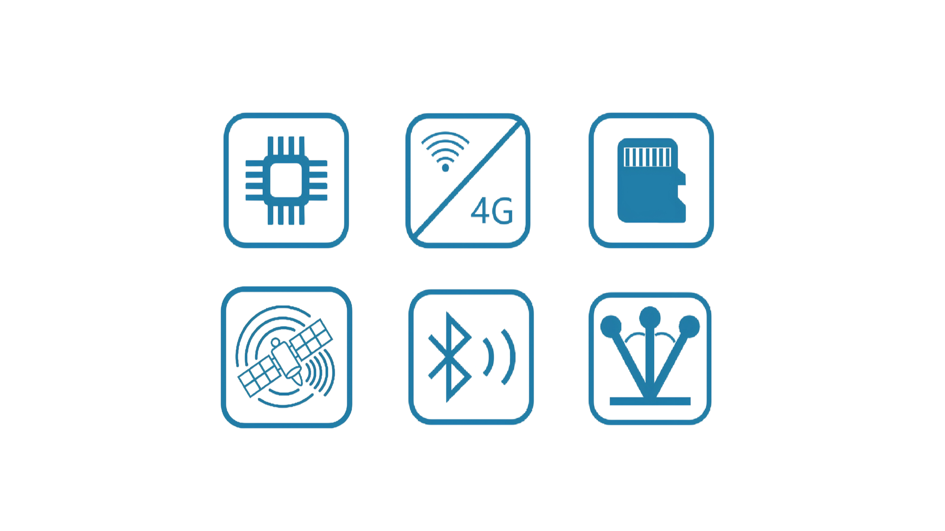
Six icons related to technology features: a microchip, 4G Wi-Fi with a slash, a memory card, a satellite, Bluetooth signal, and antenna.

High Configuration

  • 1G Hz processor, 256MB memory, 16-64GB flash memory and IMU function.

  • All GNSS All Frequency

  • Support 4G, WIFI and Bluetooth.

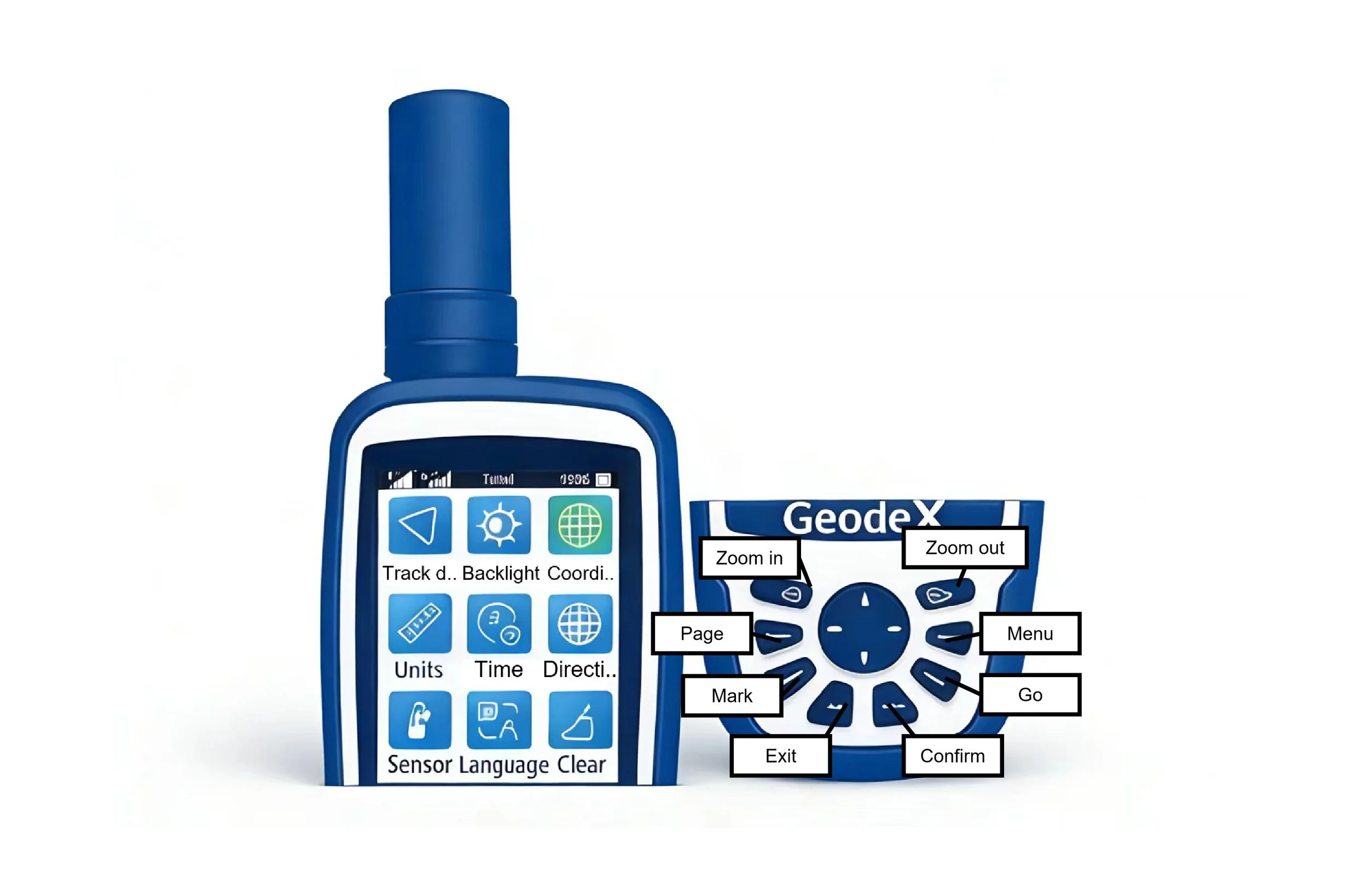
Close-up of a blue handheld device, possibly a GPS or electronic instrument, with labeled controls and a screen display showing icons and text related to settings such as units, time, and directions.

Simple Operation

Simple interface and multi-keyboard, allowing you to get started right now!
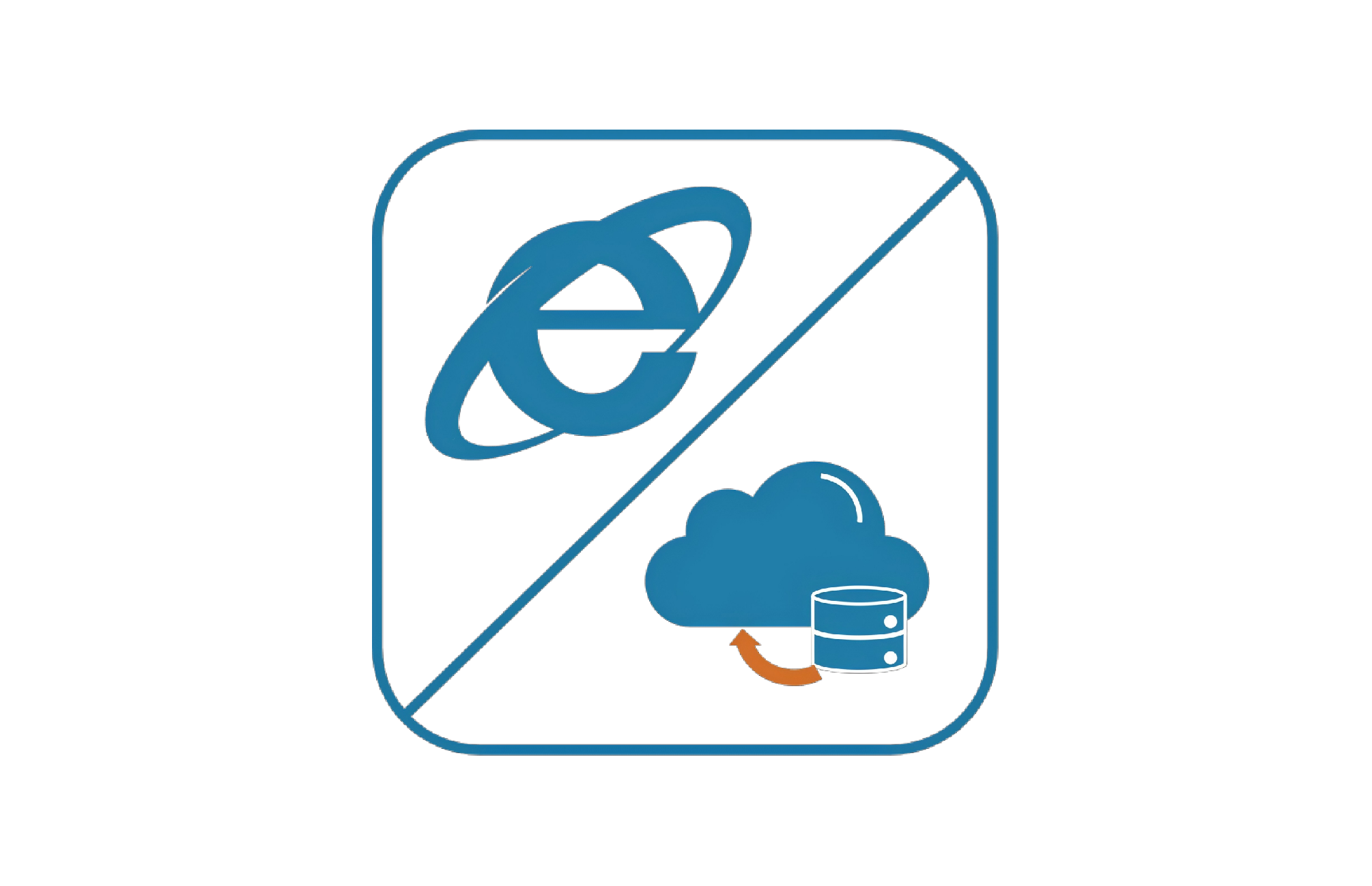
Internet Explorer icon with a no symbol and a cloud with a database, indicating no internet access or restricted internet connection.

Backend Function

Massive storage cloud for you to back up data, removing your worries about memory and allowing you to view and edit your data thru browse!

Technical Specifications

Product Video

Application scenarios

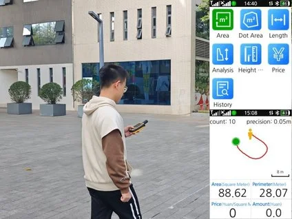
  • Construction worker with yellow hard hat and orange safety vest operating surveying equipment outdoors.

    Area Measurement

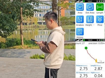
  • Routes Tracking.

    Routes Tracking

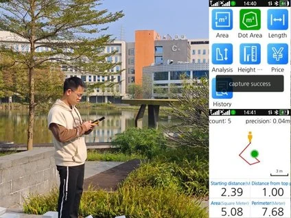
  • Construction worker using surveying equipment on a road, with greenery and mountains in the background.

    Polygon Measurement

Get in touch.

Click the button to reach out, fast response within 24 hours!