RTK CORS Network Management
& Positioning Software
The Geodex NRTK platform is an enterprise-grade solution engineered for high-precision GNSS network management and positioning. Powered by advanced optimization algorithms, it intelligently links multiple reference stations to establish a robust, long-baseline CORS infrastructure.
Next-Generation Positioning Platform
By breaking through traditional distance limitations, the system delivers uninterrupted, real-time correction data. This ensures field operators across the entire coverage area consistently achieve reliable, centimeter-level accuracy for their most critical operations.
Main Features
Enterprise-grade capabilities designed for scale and precision.
Multi-Subnetwork
Capable of processing up to 5 subnetworks concurrently with maximum efficiency.
Industrial Reliability
Designed for rigorous 24/7 continuous operation with an output reliability rating of up to 99.9%.
Massive Capacity
Supports the creation of over 100,000 user accounts with up to 1,000 users online simultaneously.
Comprehensive Mgt
NRTK supports multi-management on different base stations, including add, remove, modify, and status check.
Secure Networking
Possesses native capabilities to safely initiate secure http and https (SSL) connections.
Broadcast Modes
Supports virtual grid modes, data stream forwarding, and flexible broadcasting configurations.
User-Friendly, Split-Design Architecture
Built on an architectural design that strictly separates the user interface from backend services. The positioning computation engine operates independently at the OS level, ensuring automated, secure, and uninterrupted background processing.
-
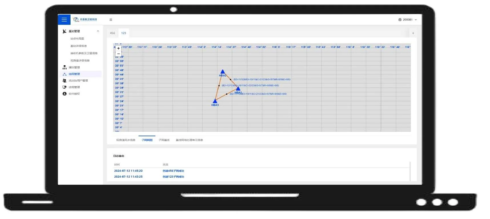
Administration Interface
Designed with a clean and streamlined management console featuring distinct functional zones. This highly structured layout allows administrators to monitor service operational states with enhanced clarity and efficiency.
-
Concise Monitoring
You can easily find the function you need within our logical interface layout, minimizing training time for operators.
Dual Service Models
NRTK operates via two distinct, powerful positioning service modes, both offering a service range within 70 km and 5-constellations, 16-frequency processing compatibility, compatible with multi-brand base receivers and various positioning terminal devices.
Virtual Reference Station (VRS)
-
Service Coverage:Within 70 km
-
Differential Mode:Virtual reference station, one-to-one
-
Availability:95%
-
Compatibility:Medium; supports multi-system, multi-frequency processing
Virtual Grid Points
-
Service Coverage:Within 70 km
-
Differential Mode:Virtual Grid Points
-
Availability:99%
-
Compatibility:Medium; supports multi-system, multi-frequency processing
Technical Parameters & System Requirements
Ensure your infrastructure meets the standard for optimal performance.
| Component | System Requirements |
|---|---|
| Operating System | Linux (both 32-bit and 64-bit architectures). |
| Processor |
|
| Storage / Hard Disk |
Minimum Memory: 16GB (Recommend: 16GB) Minimum Disk: 500GB (Recommend: 500GB) |
| Graphics Card / GPU |
At least: Directly compatible with X9 integrated graphics Recommend: Directly compatible with X9 2GB discrete graphics |
| Network Connection | Supports initiating http and https (SSL) connections |
Applications
The NRTK software platform is specifically engineered for the construction and management of urban GNSS Continuously Operating Reference Station (CORS) networks. By providing robust spatial data infrastructure and real-time correction services, it serves as the core engine empowering high-precision smart city applications:
Infrastructure Planning
Deformation Monitoring
& Urban Mapping
Atmospheric Tracking

Get in touch.
Click the button to reach out, fast response within 24 hours!