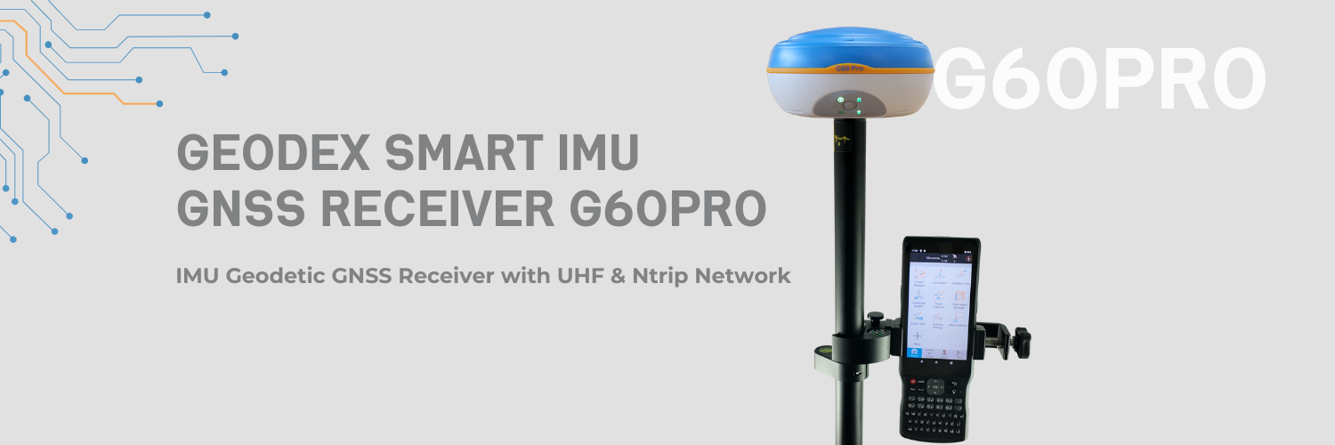
Main Features

A GPS navigation screen showing a route with a starting point, a route line, a destination, and a satellite icon.

1408 Satellites Channels

Compatibility with GPS, GLONASS, GALILEO, BEIDOU and QZSS constellations

Line drawing of a drone with two propellers and a camera, with connecting lines indicating movement or control

IMU 60 degree Tilt Survey

Increases point measurement & point stakeout efficiency by 30%

Illustration of a radar or sonar device with waves emanating from it.

UHF &Internet &Ntrip Data Link

Capacity for Static, Fast Static, Stop and Go, Real Time Kinematic and Navigation measurements

Key Advantages

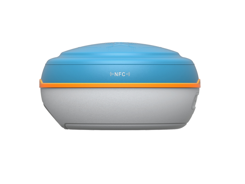
A compact, portable device with NFC capabilities, gray bottom half, blue top, and an orange accent line.

WebUI Function

The WEBUI function offers an easy access to manage the device & data through login the web browser via WIFI connection of your GNSS receiver.

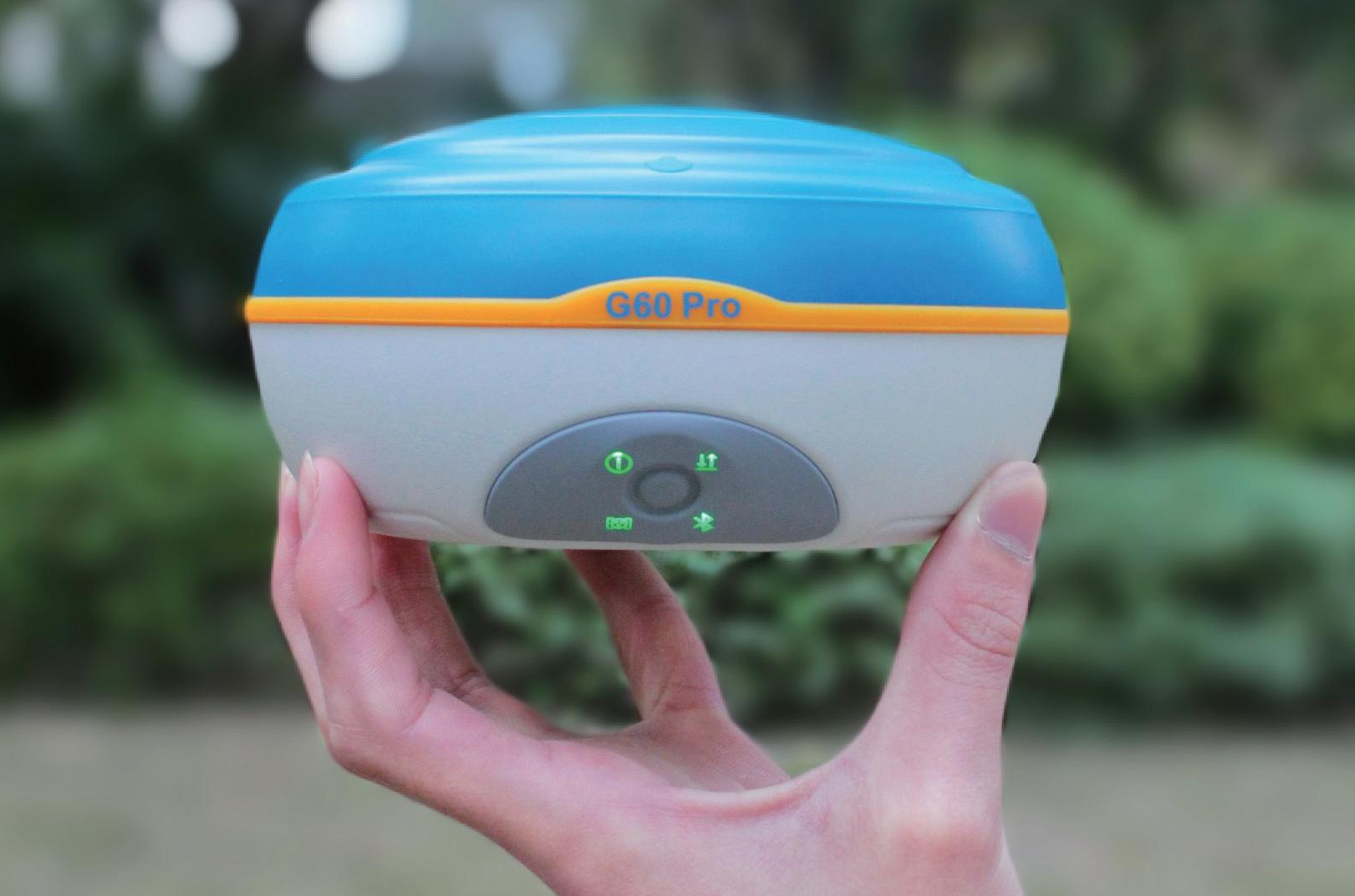
A person holding a small electronic device labeled G60 Pro outdoors, with a blurred green background.

Various Data Formats

Input & Output supports CAD dxf,  Cass Format .dat, Local Coordinates Format .txt, csv, Shape File (NEH Format).shp, Control Point Report .xls, can be converted to Rinex data format.

A compact, portable device with a blue top, gray bottom, and orange accent, showing brand name GendeX and control buttons on the front.

Complete Built-In Connectivity

Minimum internal storage of 32GB, Extend with SIM Card Slot, Type C port; Communication via UHF, Lora Radio, 4G network, Bluetooth and WIFI

Technical Details

Technical Specifications
Standard Configuration
Controller
Survey App

SurveyApp Features

Application scenarios

  • A man wearing a yellow safety helmet and orange safety vest operating surveying equipment outdoors with a green landscape and road in the background.

    Topographic Survey

  • A construction worker in a yellow safety vest, white helmet, and glasses operates a surveying instrument at an outdoor construction site with piles of rocks and soil.

    Construction Survey

  • Surveyor in orange safety vest and yellow helmet operating a GPS device on a tripod, on a city street with green trees and mountains in the background.

    Precision Control Survey

Product Video

Get in touch.

Ready to Enhance Your Surveying Efficiency? Let’s Build Smarter Surveying Solutions Together.

Click the button to reach out, and we’ll get back to you as soon as possible.