

Key Advantages
Outstanding Security
Safe and reliable, MC10 has passed the IP67 level test, enabling it to work safely even in complex environments.
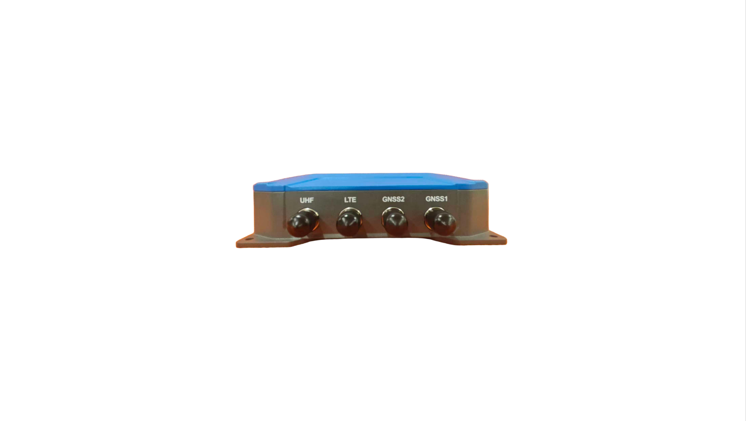
Full GNSS Signal
MC10 supports a full GNSS signal tracking, easing the pressure of satellite signal reception and increasing your work efficiency. In surveying, the MC10 delivers mm-level precision, providing technical support for your field tasks.
High Performance
MC10 shows an outstanding short-baseline direction-finding performance. Additionally, MC10 provides a excellent front-end and back-end solution.

Main Features

Remote Management
MC10 adopts full intelligent control, supporting batch remote management and status monitoring. With MC10, monitoring will become easier and more efficient.
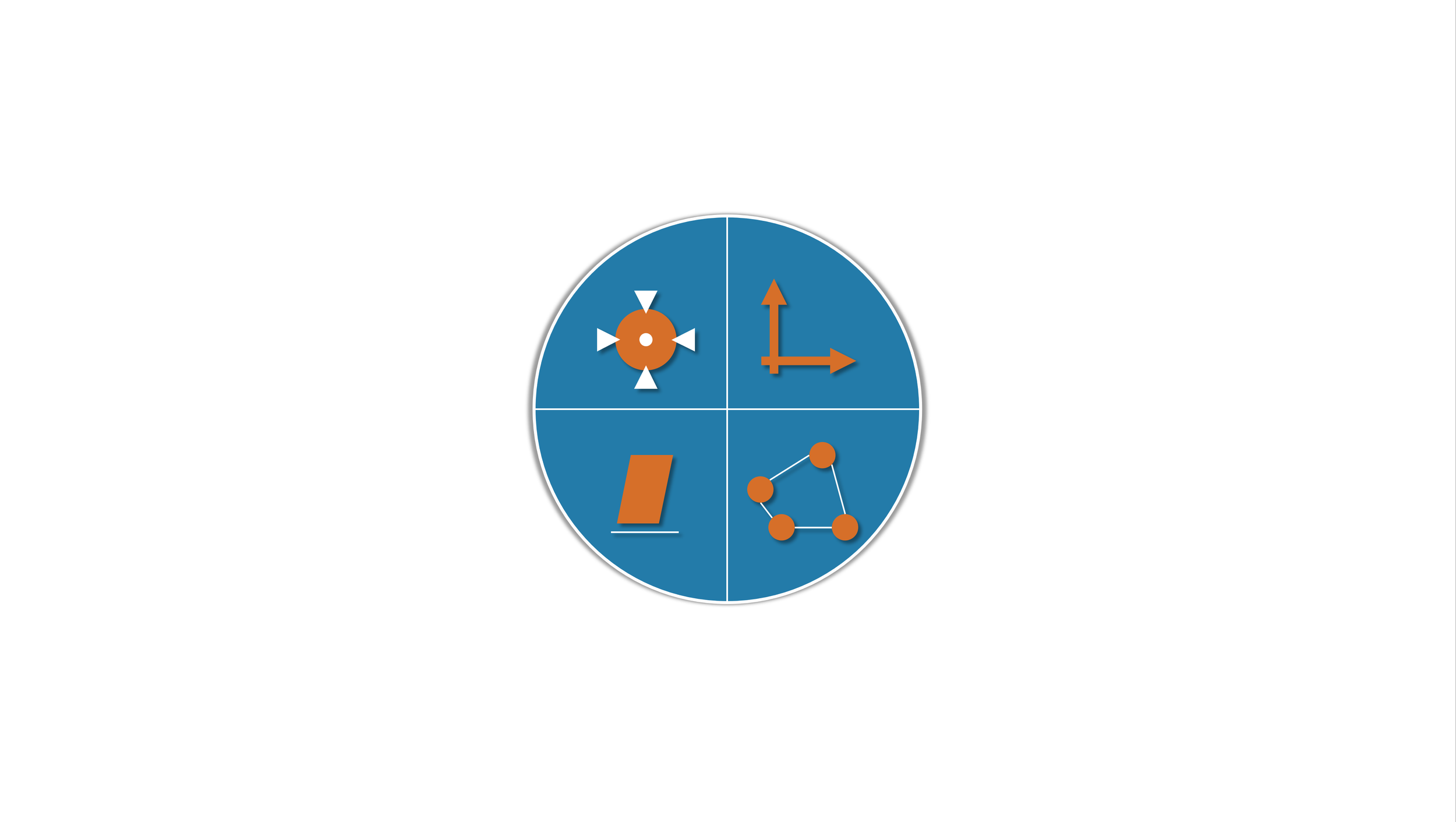
Multiple Functions
MC10 covers functions including positioning, orientation, attitude, and ad hoc networking. With the help of these functions, you can conduct more comprehensive monitoring.

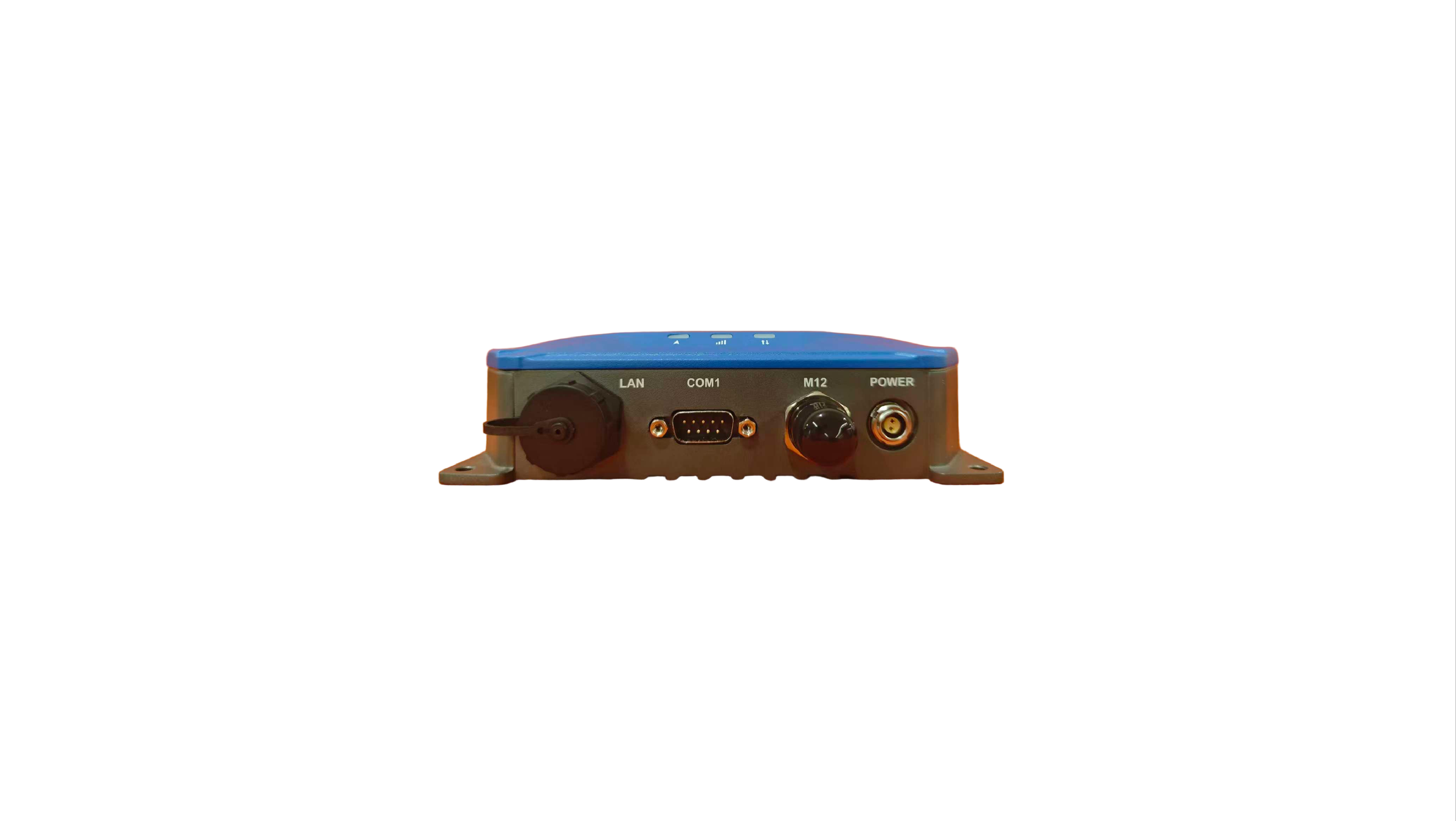
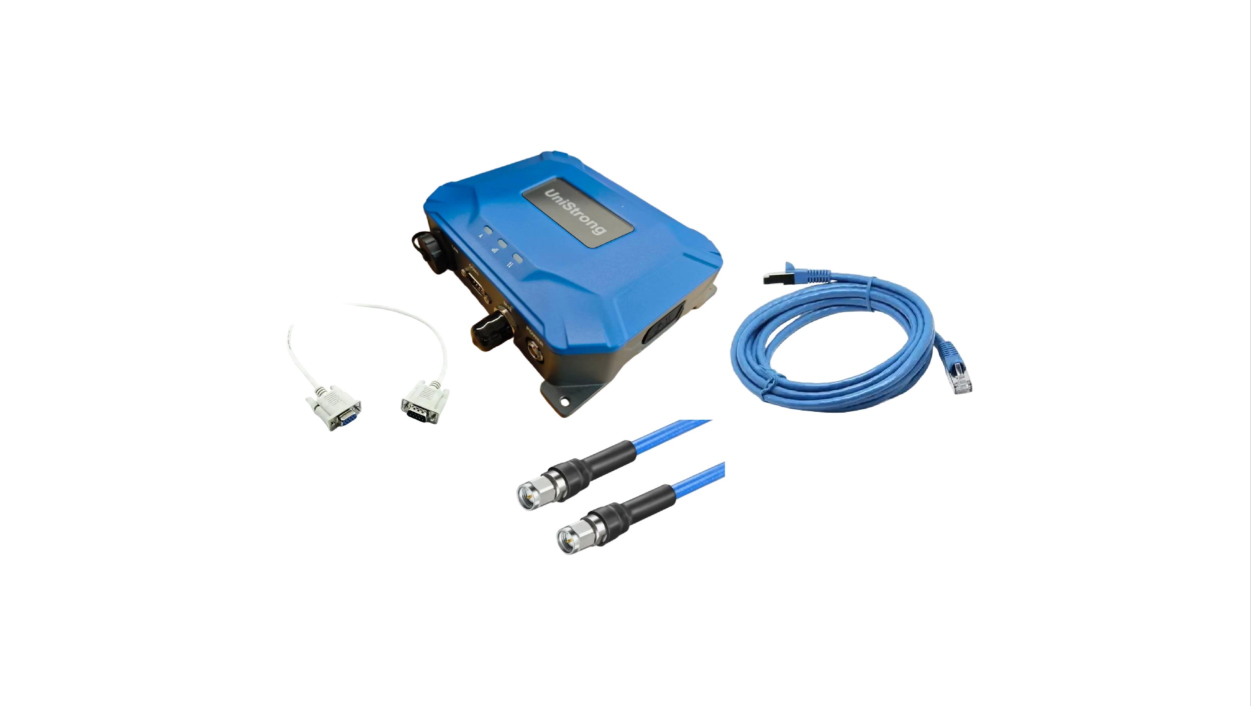
Multiple Ports
MC10 suits different ports including multi-channel high-speed serial ports, network ports, and encrypted data transmission.
Application scenarios
-

Bridge Monitoring
-

Agriculture Monitoring
-

Hydraulic and Hydropower Monitoring
Get in touch.
Ready to Enhance Your Surveying Efficiency? Let’s Build Smarter Surveying Solutions Together.
Click the button to reach out, and we’ll get back to you as soon as possible.

scan to add wechat