
Key Advantages
AR Camera Visual Stakeout
The Argument Reality (AR) technology provides real-time visualization guidance on surveying, enhanced Stakeout Productivity by at least 40%

Super-Durability Battery
Lithium-ion Cell Battery with capacity of built-in 3.7V 3400mAh*4 and autonomy of 15 hours

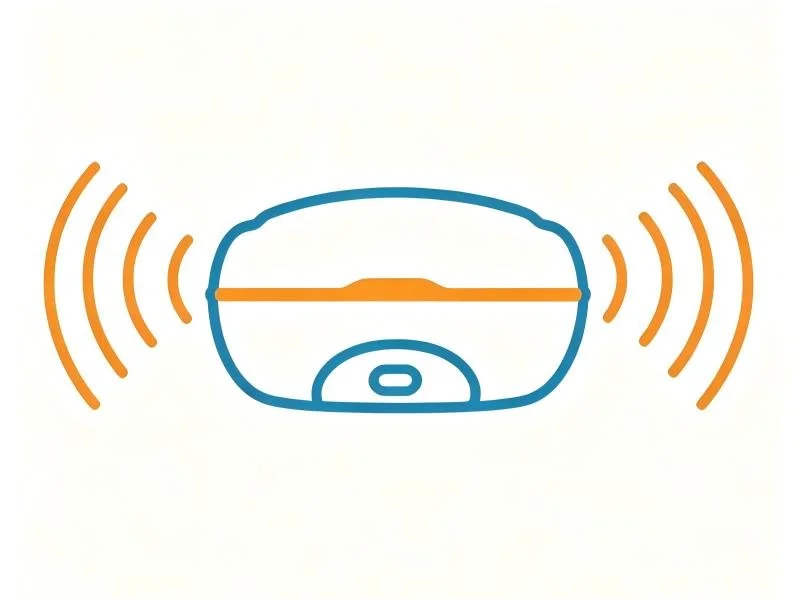
Complete Built-In Connectivity
Minimum internal storage of 32GB, Extend with SIM Card Slot, Type C port; Communication via UHF, Lora Radio, 4G network, Bluetooth and WIFI
Main Features

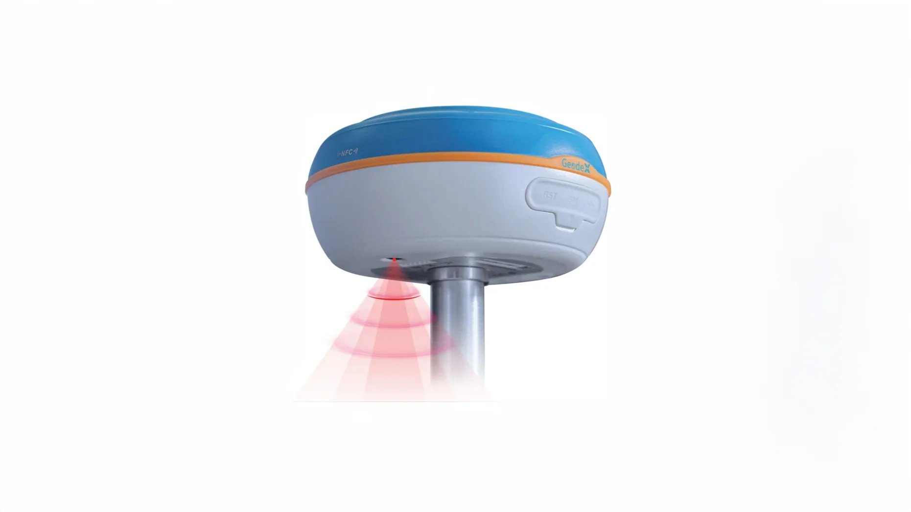
1408 Satellite Channels
Compatibility with GPS, GLONASS, GALILEO, BEIDOU and QZSS constellations

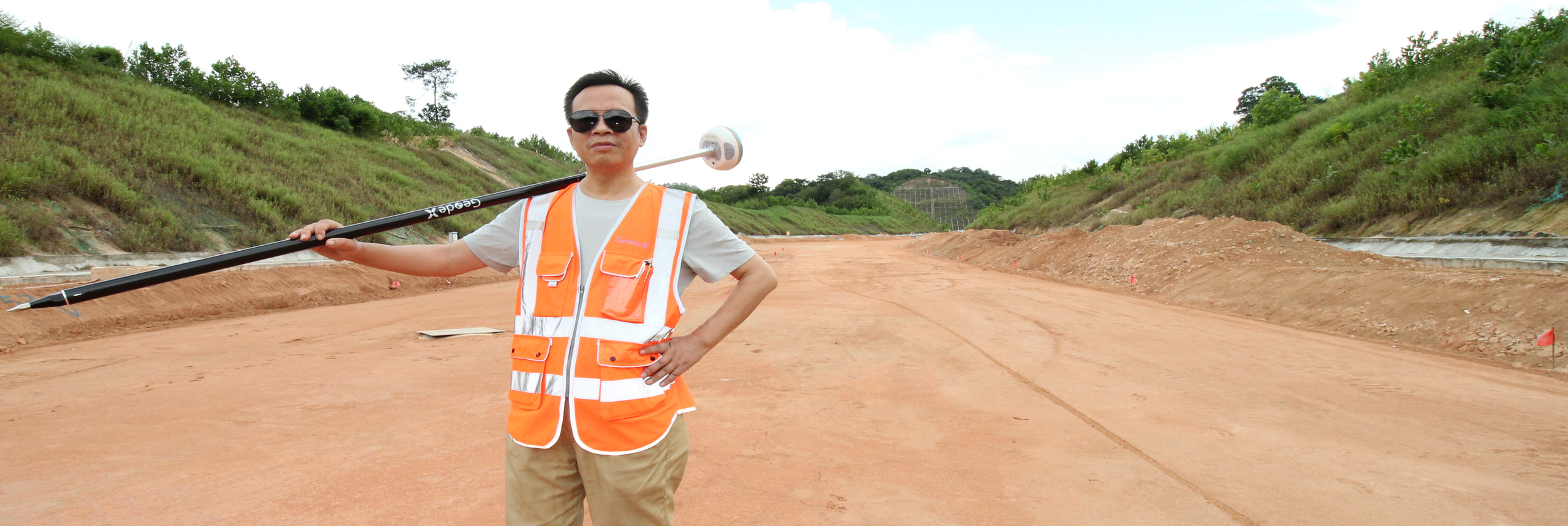
IMU 60 degree Tilt Survey
Increases point measurement & point stakeout efficiency by 30%
UHF &Internet & Ntrip Data Link
Capacity for Static, Fast Static, Stop and Go, Real Time Kinematic and Navigation measurements
Product Video
Application scenarios
-

Topographic Survey
-

Construction Survey
-

Precision Control Survey

Get in touch.
Click the button to reach out, fast response within 24 hours!

scan to add wechat