Main Features

Diagram showing the 3D shapes and their 2D slices, with a surveying instrument in the middle and section views highlighting different areas.

High-360°×270° scanning field of view via a rotating head, delivering complete environmental coverage

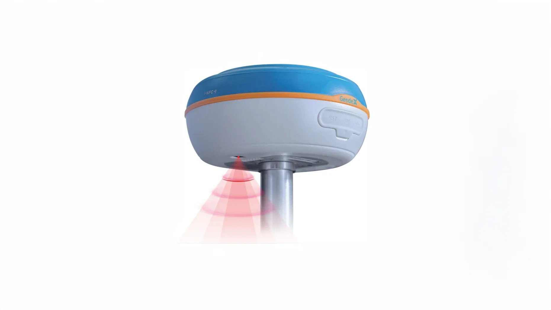
LiDAR scanning at up to 320,000 points/sec, using a 16‑channel sensor with up to 120 m range and Class 1 eye-safe laser

Close-up of a medical ventilator machine with control panel and white tube connected.

Relative accuracy ~2 cm; Absolute accuracy ~5 cm, suitable for most surveying and mapping applications

Close-up of a medical device with buttons and a small screen, featuring a green and white color scheme and a white handle on the right side.
Close-up of medical device with keypad, display screen, and a white cylindrical object attached.

Key Advantages

Diagram showing a 3D rectangle with sections from the top view to the bottom view, involving the points A and B, divided into color-coded segments, with a surveying instrument beside the base of the rectangle.

Integrated hardware and software, including SLAM GO mobile app (Android/iOS) for live preview and project control and SLAM GO POST for post‑processing, colorization, optimization, and georeferencing

Powered by four replaceable lithium batteries, offering around 2.5 hours continuous operation per session

Close-up of a medical device control panel with buttons, dials, and a barcode scanner.
Close-up of a medical device with buttons, a screen, and a white tube attached

Versatile mounting options: use handheld, backpack, pole‑mounted, vehicle‑mounted, or UAV‑mounted configurations (e.g. Feima D500/D20)

Close-up of a medical ventilator control panel with buttons, switches, and a connected white tube.

Automatic Ground Control Point collection, eliminating the need for manual placement of control markers during scans

Application Scenarios
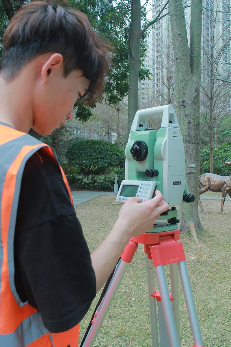
A surveyor operating a total station on a tripod in a park with trees and a building in the background.

Topographic Surveys

An RTK GNSS Receiver with AR Stakeout Visual Camera, mounted on a stand, with a blue and white body, labled Geodex
A man in an orange safety vest operating a surveying instrument on a tripod outdoors in a park.

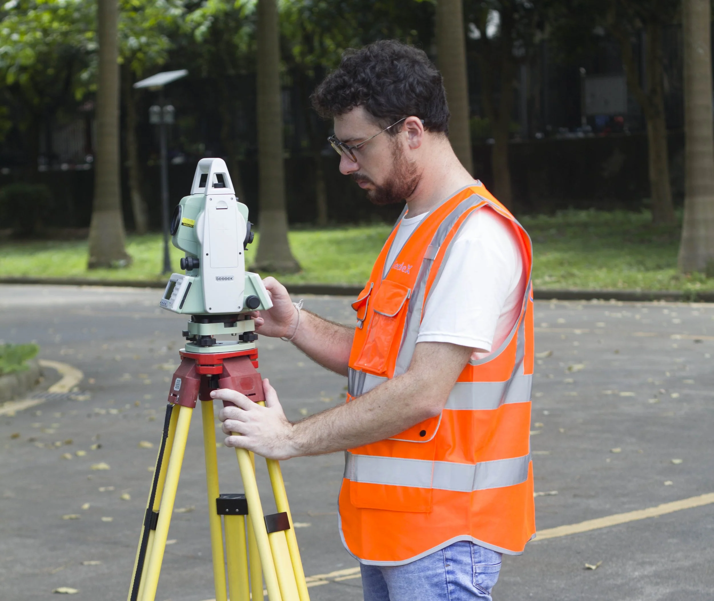
Construction and Civil Engineering Layout

Land survey instrument set up outdoors in a park with grass, trees, and a sidewalk, with a building and a deer sculpture in the background.
A Geodetic GNSS Receiver emitting red laser beams downward from a cylindrical white and blue unit mounted on a metal pole.

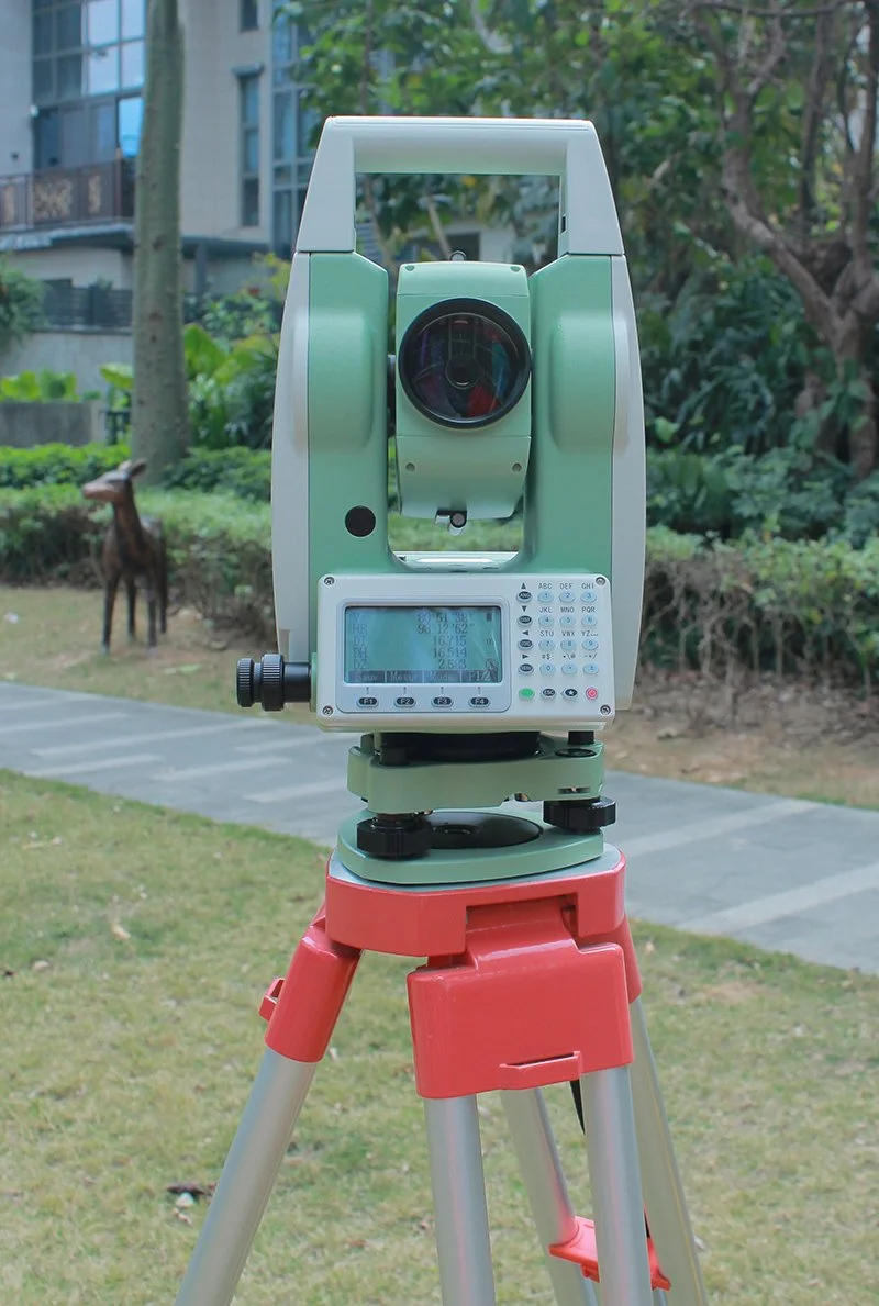
Control and Details Surveying

Construction worker wearing an orange safety vest and hard hat, standing on a road with surveying equipment, gesturing with his hands, with city buildings and a highway in the background.

Road and building stakeout

Product Video

Powerful Precise Intelligent SLAM (Simultaneously Localization and Mapping) Surveying Instrument brings Surveying into a New Era.

Real-Time Lidar Scanner for 3D Mapping #Slam Robotic Surveying Technology

Technical Details

Technical Specifications
Standard Configuration
Controller
Survey App

SurveyApp Features

Application Cases Presentations

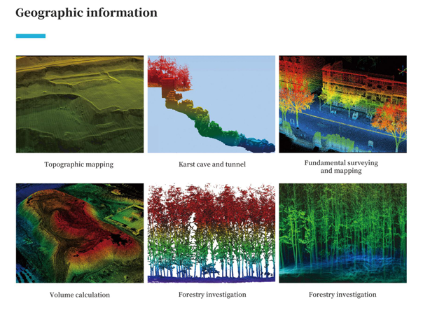
Geographic Information

Geographic information

Industrial Engineering
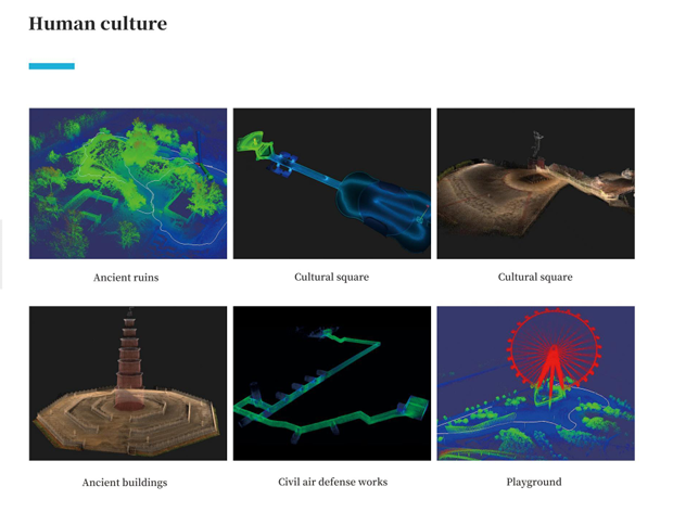
Construction property

Human Culture

Human culture
Industrial engineering

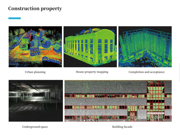
Construction Property

Get in touch.

Ready to Enhance Your Surveying Efficiency? Let’s Build Smarter Surveying Solutions Together.

Click the button to reach out, and we’ll get back to you as soon as possible.